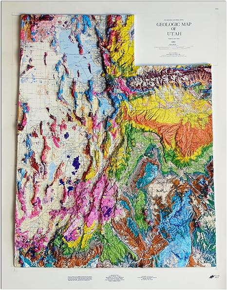
The map is vacuum-formed from a USGS topographic dataset, so the Wasatch Range, the Uintas, the Henry Mountains, and the canyon country are all physically raised off the surface in real proportional relief. Run a finger up the spine of the Wasatch and feel the elevation change. The detail extends to ridgelines, valleys, and major rivers.
This is a wall piece for someone with a Utah connection — climbers who lived a season in Salt Lake, hikers who keep going back to Zion, people who got married in the Tetons or skied at Alta. Pair with a thin frame and it works in offices, ski lodges, and over-the-couch art walls.
Muir Way handcrafts the relief maps in the United States using molded terrain from public USGS topographic data.


